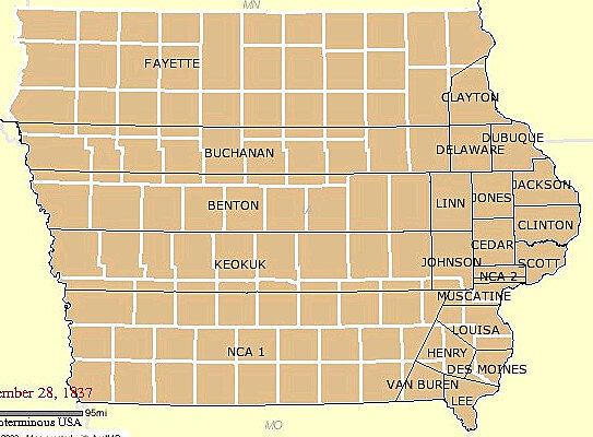
When Des Moines was in Keokuk County
Text
Were your ancestors so amazing that they lived in two different states in the same house? Probably not, it’s more likely the culprit of changing land boundaries.
Between 1836 and 1855 most all 99 Iowa counties were officially formed. Many of these county boundaries changed during that time. If your ancestors were some of the first to the area, their records may be in more counties than you think. In 1836, Dubuque County made up two-thirds of the state and included what would ultimately become Polk County.
Iowa Quick History
1803 – Iowa Territory became part of the U.S. via the Louisiana Purchase
1830s – First settlements appear in Iowa Territory
1846 – Iowa became a state
1851 – City of Des Moines incorporated
1860 – Almost entire state settled and farmed
While conducting genealogy, it can be very helpful to also conduct some local history research to get a feel for the time and place where your ancestors lived. If you find a reference to your ancestor being born near Baker’s Field or Pratt’s Valley, don’t assume those were towns. They could have merely been areas commonly referred to after the closest landowners, Mr. Baker or Mr. Pratt. Many townships, cities, and counties have changed names several times over the years.
An excellent genealogical resource to trace county and state boundaries is the Atlas of Historical County Boundaries interactive map, sponsored by The Newberry Library. It can help you better understand changing historical county boundaries and offers a map of land boundaries based on date. It is interesting to see the progression of the westward expansion over time.
Other tools that can you help you narrow down places your ancestors lived: Land & Property Records, Census Records, Plat Maps, City Directories, place histories, and Google Earth.